Historical objects and artworks
Our historical objects and artworks are held in 2 collections:
- state collection—consists of more than 1,100 objects
- reserve collection—consists of artwork, photographs and objects.
Both collections include a range of objects used for surveying, cartography and geospatial work, as well as items linked to significant people. Read about the types of objects we hold below.
Distance measurement instruments
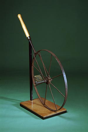
A number of instruments were used over time to measure distances for surveys in Queensland, depending on the difficulty of terrain and accuracy required.
Initially, the Gunter's chain was used to measure the boundaries of town allotments and country selections. The perambulator was used to measure distances of large runs or on road and feature surveys where less accuracy was required. These were replaced by flat steel tapes, steel bands and most recently by electronic distance measuring equipment (EDME).
Angular measurement instruments
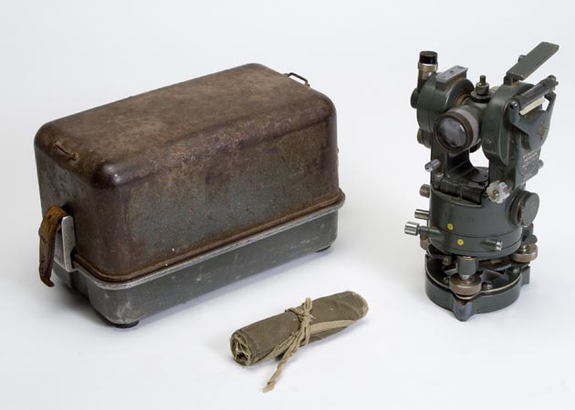
A critical component to the surveying process is the measurement of angles. Initially compasses assisted surveyors to define their direction, putting the survey on a magnetic meridian. Theodolites were developed to allow more accurate measurement of angles both in the horizontal and vertical plane.
Heighting instruments
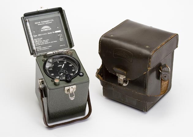
Heighting instruments are used to measure the relative heights and depths of points on the Earth's surface. Generally, the height of a point is related to a standard datum (i.e. mean sea level).
Differences in heights between points can be determined by direct levelling (i.e. using a surveyor’s spirit level and staff), by trigonometrical heighting (i.e. using a theodolite to read vertical angles between points), or by a less accurate method of barometric levelling (i.e. using a barometer).
Surveying accessories
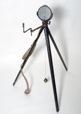
Surveyors used a variety of tools and accessories when surveying in the field. Accessories ranged from a box to carry small items to a tripod to allow for the boiling of the billy.
Drafting and mapping instruments
Draftsmen and cartographers used a variety of instruments to allow them to create survey plans and maps over Queensland.
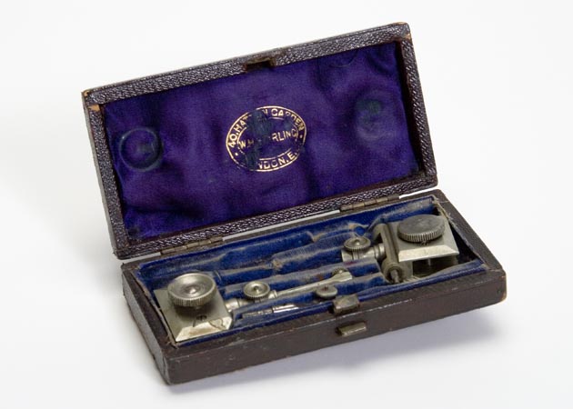
Astronomical observing instruments and timekeeping
Astronomical observing instruments in conjunction with timekeeping devices were used to fix the positions of towns in Queensland in the 1890s.
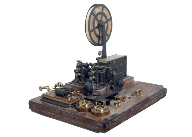
Photographic equipment
Photographic equipment was used to produce composite maps and the reproduction of aerial photography. Photographers captured images depicting the history and development of Queensland.
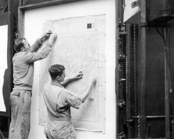
Calculations
For surveyors and cartographers, arithmetical calculations are necessary to produce maps and plans. From the earliest times, mathematicians have invented instruments and tables to assist their work.

Artworks
Many of Queensland's early surveyors and cartographers were artists and poets. We are fortunate to have a diverse collection of artworks, including original paintings used as promotional art for tourist maps, illustrated poetry by surveyors in the field, and caricatures of early departmental staff. View the artworks.
Copyright
© All images are protected by copyright. The State of Queensland has no objection to this material being reproduced, made available online or electronically provided it is for your personal, non-commercial use, or use within your organisation; this material remains unaltered; and the State of Queensland is recognised as the owner.
Object loans
The museum offers selected mapping and surveying objects for loan. Email museum@spatial-qld-support.atlassian.net for more information.
- Last updated
- 01 April 2026
- Last reviewed
- 01 April 2026