Discover how Queensland's borders were mapped and surveyed by early pioneers.
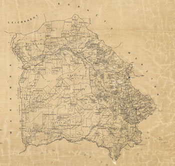
Queensland parishes and counties are the basis of our historical land administration principles and naming conventions.
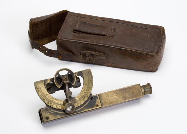
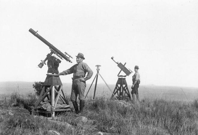
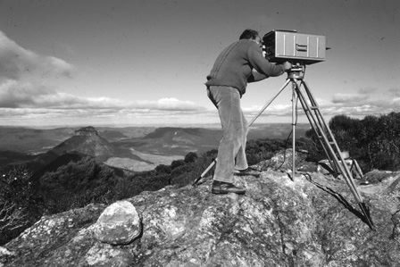
Instruments were used by surveyors to measure heights, distances and angles.
The history of Queensland's borders before proclamation as a state and with New South Wales, South Australia and Northern Territory.
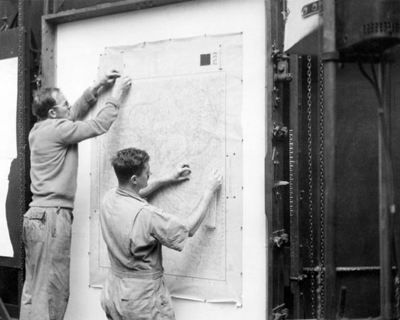
Queensland's mapping history including the development of map products.
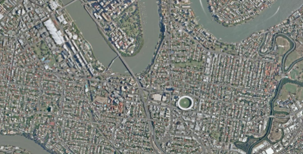
Read about the state's history of aerial photography, aerial imagery and the archive preservation project.
Learn and discover the history of the museum, research resources, and where to visit our collection.